Select your language

There are days in life that are, undoubtedly, more beautiful and engaging than others .... A day spent climbing on the via ferrata that leads to the top of the Croda Rossa di Sesto (Rotwand spitz), in Sud Tyrol, is one of these.


Costoni e del Castelliere (Burgstall) Via Ferrata, Croda Rossa di Sesto (Rotwand spitz), Sud Tyrol


Climbing high in the mountains and reaching the peaks gives me intense emotions, it tests me psychologically, even before physically, and purifies my mind, sweeping away everything that clouds it in everyday life. Even the climb to Croda Rossa di Sesto, like the via ferrata Strada degli Alpini (Alpinisteig) and the ferrata De Luca-Innerkflor al Paterno, climbed last year, did me immensely good ..... and put a few things back in place....

In this article, I will provide you with a fairly detailed description of the track (on the web I have found some rather approximate ones, if not wrong ...). I also refer you to the video I shot, and that as soon as possible I will publish it here, and to the track of my route. I will also provide you with some general considerations on the climb, on its peculiarities, and on the conditions I found. And I will describe my impressions and emotions.


DSCN0559

DSCN0464

DSCN0526


The via ferrata to climb from the north side to Croda Rossa di Sesto is considered to be a medium difficulty one, and this is true, whether, in the first part, you climb from the Costoni via ferrata (as I did), or from the Castelliere (Burgstall) via ferrata (which I used for the descent, because, if I can, I try to never return from the same route as the ascent, to vary my trip). Regarding the level of difficulty, I can confirm that the equipped sections are actually not particularly challenging, at least for those who are used to this type of track and have good mountain experience. There are few vertical sections, or a little exposed, and in some cases, the cable is actually more for psychological safety than anything else.

But I invite you not to underestimate the commitment of the climb, both because in the whole it is not trivial, and because in any case the route takes place in the high mountains.


The sections where you walk (in a few cases, you climb on easy, unsecured first-grade passages) are very steep and prevalent compared to the equipped sections, and, in my opinion, rather tiring. Personally, I find walking on very steep paths (where only the legs work) much more tiring than climbing on equipped sections, where the hands help in vertical progression, and relieve leg fatigue. And moreover, walking on scree and very steep slopes makes me feel less safe than proceeding along the equipped sections. On the occasion of my ascent (July 21, 2024, the route was clean and free of snow, despite the abundant spring snowfalls).

The beauty of this route, in my opinion, is not comparable to the other two via ferratas mentioned above, but reaching the summit will give you a truly incredible view, and suffice it to say that from up there, even the Tre Cime di Lavaredo (Drei Zinnen) seemed small to me....

To simplify the track, reducing the altitude gain to just 1000 meters...., this time too I took advantage of the cableway that goes from Bagni di Moso to Prati di Croda Rossa, at 1925 m above sea level.

As I said, I therefore followed the itinerary by going up the Via Ferrata dei Costoni and going down the one of Castelliere (Burgstall). In my opinion, this is a reasonable choice, because the via ferrata of Castelliere is a little more tiring, being characterized by less vertical sections, but with some passages to overcome in adherence on smooth rocks, which can be a little more tiring when going uphill. And then the stretch of path in the canal, after the Castelliere via ferrata, which takes you to the fork at about 2400 meters where the two routes join, has "interesting" slopes of 54% (see my track), which, going uphill, can quickly tire you out, and consume precious energy.

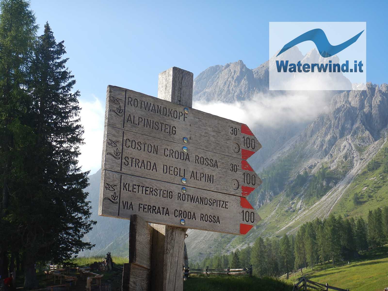
Having said that, in summary, from Prati di Croda Rossa, take path number 100 (signs for Ferrata di Croda Rossa), and, at the fork at an altitude of 2160 m, ignore the path on the right that leads to the Strada degli Alpini (Forcella Undici - Eleven pass), and take a left uphill to climb the Costoni di Croda Rossa. The start of the equipped sections, and where it is therefore advisable to wear a harness, is located just below 2400 meters, immediately beyond a wooden ladder (see photo below and video).

DSCN0506

DSCN0506

DSCN0547

DSCN0553

DSCN0528


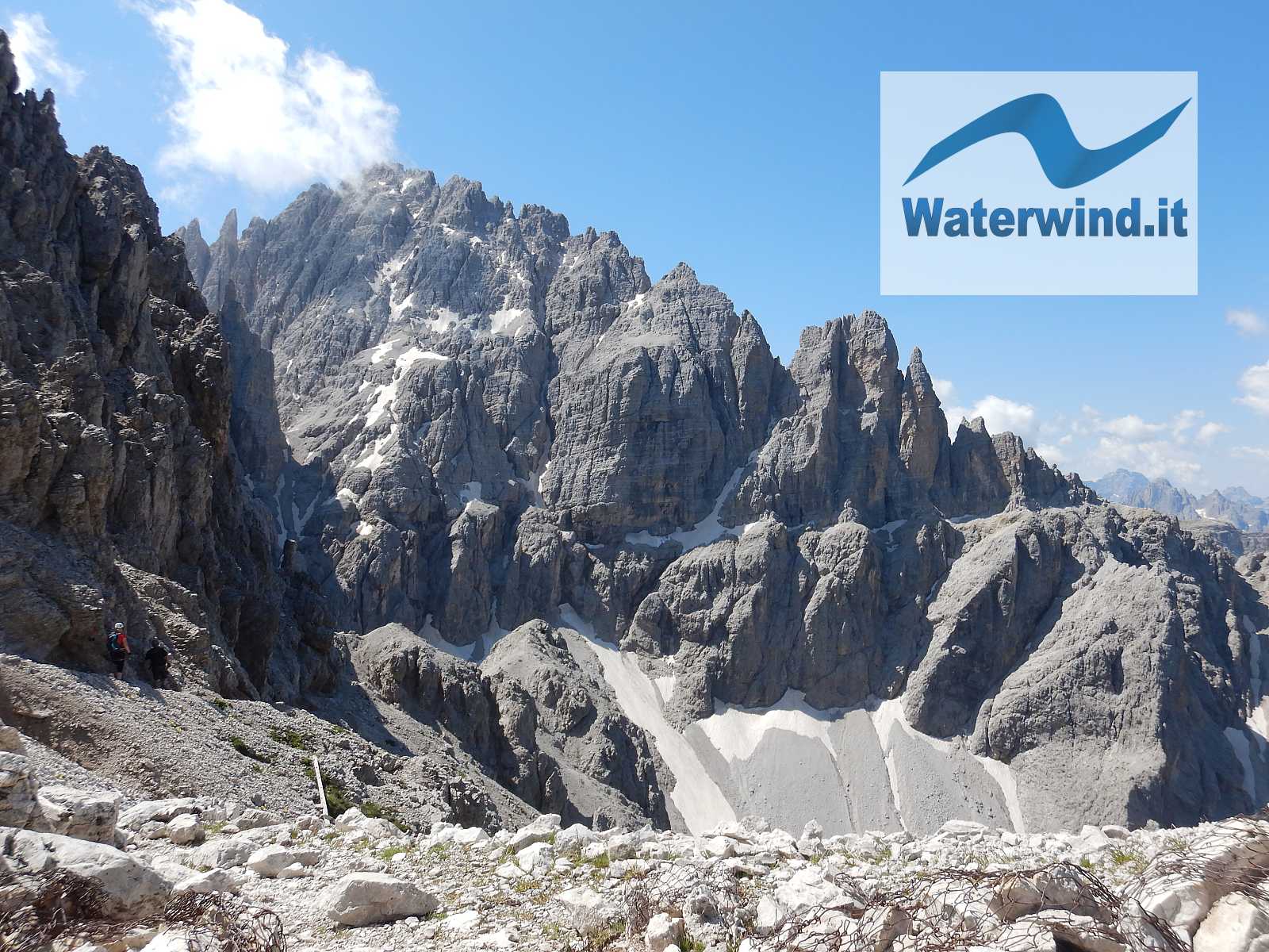
You then reach the fork where the Ferrata del Castelliere also arrives, and you continue walking for a short stretch (to the left of a large snowfield - Circo Nord, at almost 2500 m), to then tackle a new equipped stretch, technically the most challenging of the entire equipped route, which takes us to another stretch where you have to walk for a long time, winding, steeply uphill, following the red marks on the rocks, to follow the track.

You then reach a large basin, known as Wurzbach, with evident remains (abundant wood, and a small tunnel) of what was a village of the Austrian troops, at an altitude just under 2700 meters. Here, contrary to what you might think, you have to follow a track in a southerly direction (sign indicating Via Ferrata Croda Rossa - Klettersteig Rotwandspitz - photo 532 of the slidegallery), and it takes you to the western side of the mountain that looks towards Fiscalina Valley, which on the Tobacco 10 map is indicated as Vallon Sentinella - Anderteralpenkar), to the head of the valley where the tracks that go up to Sentinella and to Forcella Undici pass also climb. Be careful because in this section there are some points where you walk on a narrow ledge, a little exposed and without the possibility of securing yourself. You pass a notch thanks to a vertical wooden ladder, beyond which you come to the fork, where on the right (signs in paint on the rock, "Sentinella scharte" - photo 576 of the slidegallery) the downhill track starts that then goes back up to the Sentinella pass (on a future occasion, I'll follow it to close a circular route from the Prati di Croda Rossa, and to complete the stretch of the Strada degli Alpini via ferrata, between the Sentinella Pass, and Undici Fork, on the North face of Undici Peak).

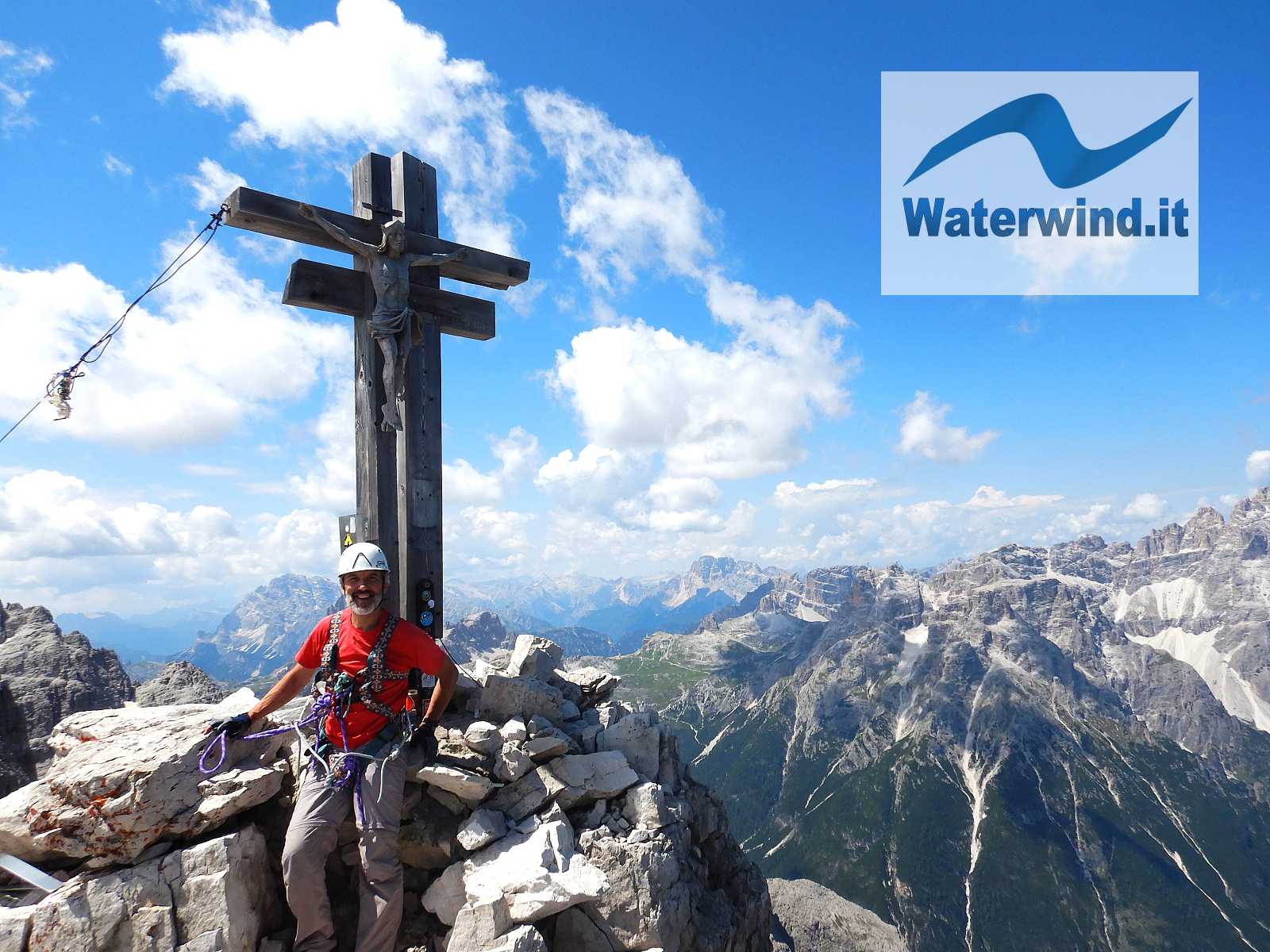
We follow to the left, instead, and climb steeply to the Croda Rossa Fork. On the wide fork there is an Austrian monument dedicated to Dr. Hanns Sild, commander of the Austrian soldiers who guarded the Croda Rossa. The summit cross finally appears, which is reached with a final short equipped stretch, and another steep path on scree. Just below the summit, this path is also reached by the track that leads to the summit those who have climbed the Zandonella South via ferrata. You then pass by some shelters from the First World War (protected by iron doors with the writing of the Bellum Aquilarum association). You then enter a notch, beyond which the track goes around the summit from the right  - South (I actually climbed directly from the notch....), and where the track for the Zandonella South East via ferrata also starts/ends. With an easy final stretch you reach the narrow and airy summit with a Wooden Cross. It took me 3.5 hours to get here from Prati di Croda Rossa. This peak is the so-called Punta dell'Osservatorio, 2935 meters, slightly lower than the actual peak of the Croda Rossa, corresponding to the Vinatzer Tower at 2965 m, which we see in front of us, in a South West direction, where some tunnels and military posts strike us and attract our attention.

But it is the panorama all around that immediately captivates us: the Popera Peak, often still snow-capped, the Eleven Peak and the Croda dei Toni stand out to the South and South West; and then the unmistakable Tre Cime to the West, with the profile of Mount Paterno, which seems very small and low from here! Towards the North West, the Punta Tre Scarperi and the Baranci, and towards the North and North East the Tauri and the Grossglockner. To the East, the entire Carnic ridge runs.

I lingered a bit on the summit, in a safe position (a nice feeling, that of being in such an airy place, even if a feeling of anxiety remains inside), to refresh myself and enjoy the show, keeping an eye on a storm arriving from the South, still quite far away, and expected for mid-afternoon


Then, the descent began. I immediately met some nice young guys, who had come up from the Zandonella South, who would have come down through the South East one. Definitely wiser, better equipped and more cautious than those I saw coming down from the Via Ferrata dei Costoni, in sneakers shoes, without a harness and with a dog in tow....

I went down calmly, both to save my knees and to enjoy the places (I made a short inspection of the Wurzbach village). I then deviated to the Castelliere via ferrata, and arrived, in just less than 3 hours, again at the Prati di Croda Rossa, where I quenched my thirst with a fantastic medium Weissbeer at the Rudi Hutte. The guy in charge of the tables understood that I was very thirsty, without me even opening my mouth to speak.... So I took the cableway and returned to the valley, closing another unforgettable day of my life.

If you have any suggestions or comments, post them below.

Have a good climb. Fabio Muriano


Click here for the whole slidegallery of my climbing


Full video of my hiking


Without your Support, Waterwind wouldn't exist. Become our supporter!

If you want to advertise with us, read here, or conctact us.


No comments

Articles/Albums with similar tags

m5adscom script