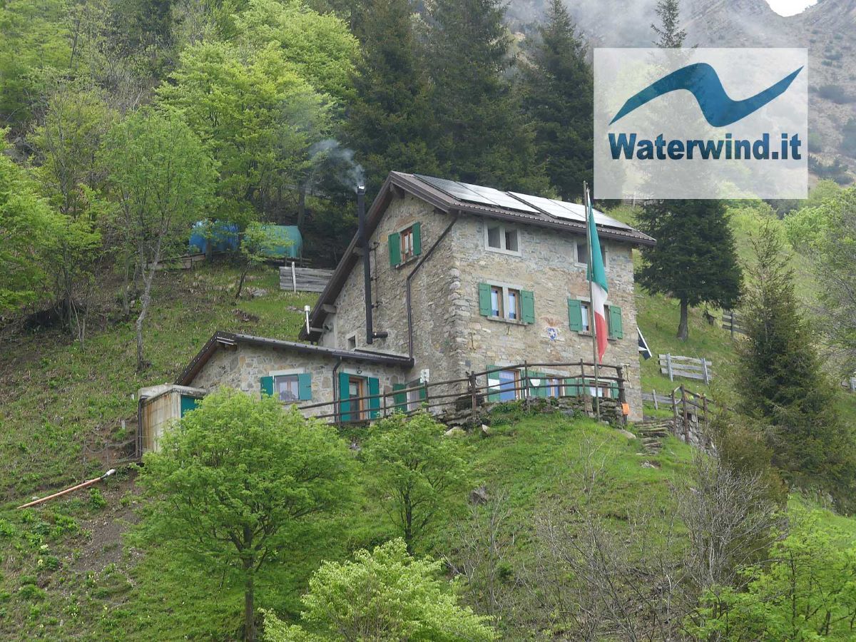
It's been a long time since I've done a trek in the Grigne. Walking along the path that goes up to Elisa Hut from Rongio (Mandello del Lario), I realized that there are still many beauties to discover among these mountains.
Trekking: Elisa Hut from Mandello del Lario (Grigne)
When I was younger, I did everything on the Grigne mountain group: I hiked to northern Grigna when I was 12; I climbed the towers of the southern Grigna; I did the high and low crossing between the two peaks, and the "direttissima" path in winter; I reached most of the refuges. In short, I thought I had already seen a lot, and during the last few trips, I had decided to walk on other mountains.
And instead one of the last treks carried out (from Abbadia Lariana to the Cenghen waterfall), and this one to Elisa Hut, made me understand that the nature, geology and landscapes of these mountains still have a lot to offer.
The side that descends towards the lake is the one that I have explored the least so far, due to the differences in height, which, starting from the hamlets of the coastal villages, are significant. But it is probably the one that deserves the most from a geological and landscape point of view.
I had never reached the Elisa Hut yet, and so last Sunday (19 May 2024) I decided to go and discover it.
I started from Rongio, a hamlet of Mandello del Lario. I parked conveniently near the small sports field (see my track below). There are other parking options a little higher up, around the historic core of the hamlet. My track actually records the descent from the refuge to the parking lot. On the outward journey, I took exactly the same route.
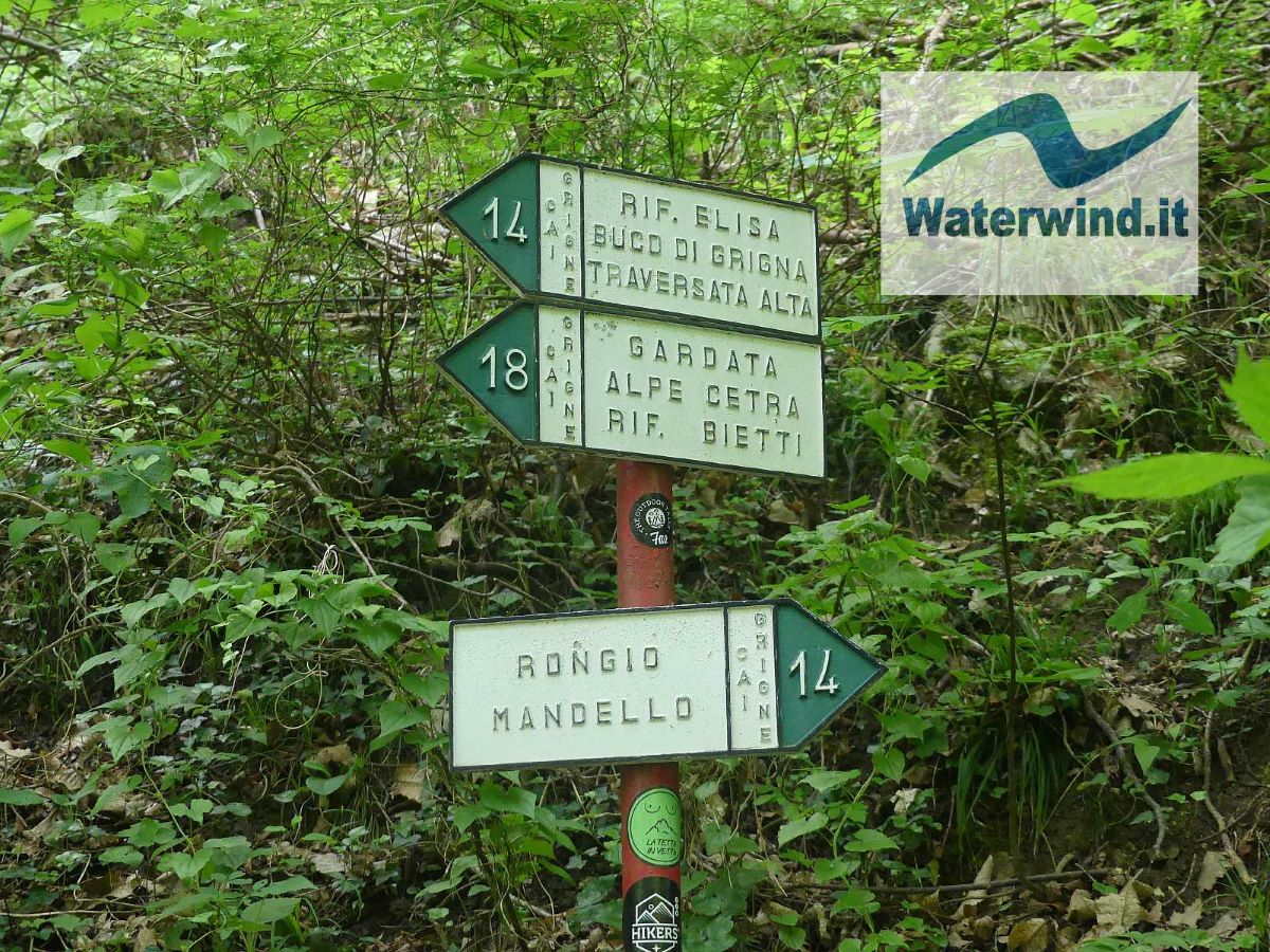
From Rongio, approximately 400 meters above sea level (you can find the trail signs already near the bar of the village), take path number 14, a comfortable mule track, with stone paving, which, for about two km, up to the so-called "Ponte di Ferro" (Iron Bridge), proceeds pleasantly through the woods, on the left hydrographic bank of the Meria stream, without significant difference in height. Throughout the entire route, the path is clear and in good maintenance conditions. The signs are frequent and clear. There are never problems about where to go.
The abundance of rain and snow, this spring, filled the streams with water, which roared all around, on Sunday. At the Iron Bridge, in particular, you can admire truly amazing potholes and waterfalls and pools of emerald water. From the Iron Bridge, the mule track begins to climb steep. Although an infinite series of expertly designed hairpin bends serves to reduce the slope, the inclination of the route remains accentuated, although not extreme, up to approximately 1 km from the hut. Find your rhythm, and climb with patience.
Luckily, you will often have plenty of distractions. The first is found just above the Iron Bridge, and it is the Grotta Ferrera (or Acqua Bianca), one of the many natural caves in these mountains characterized by karst, 135 meters long and approximately 35 meters wide. It is worth bringing an effective source of lighting to admire and explore the interior a bit.
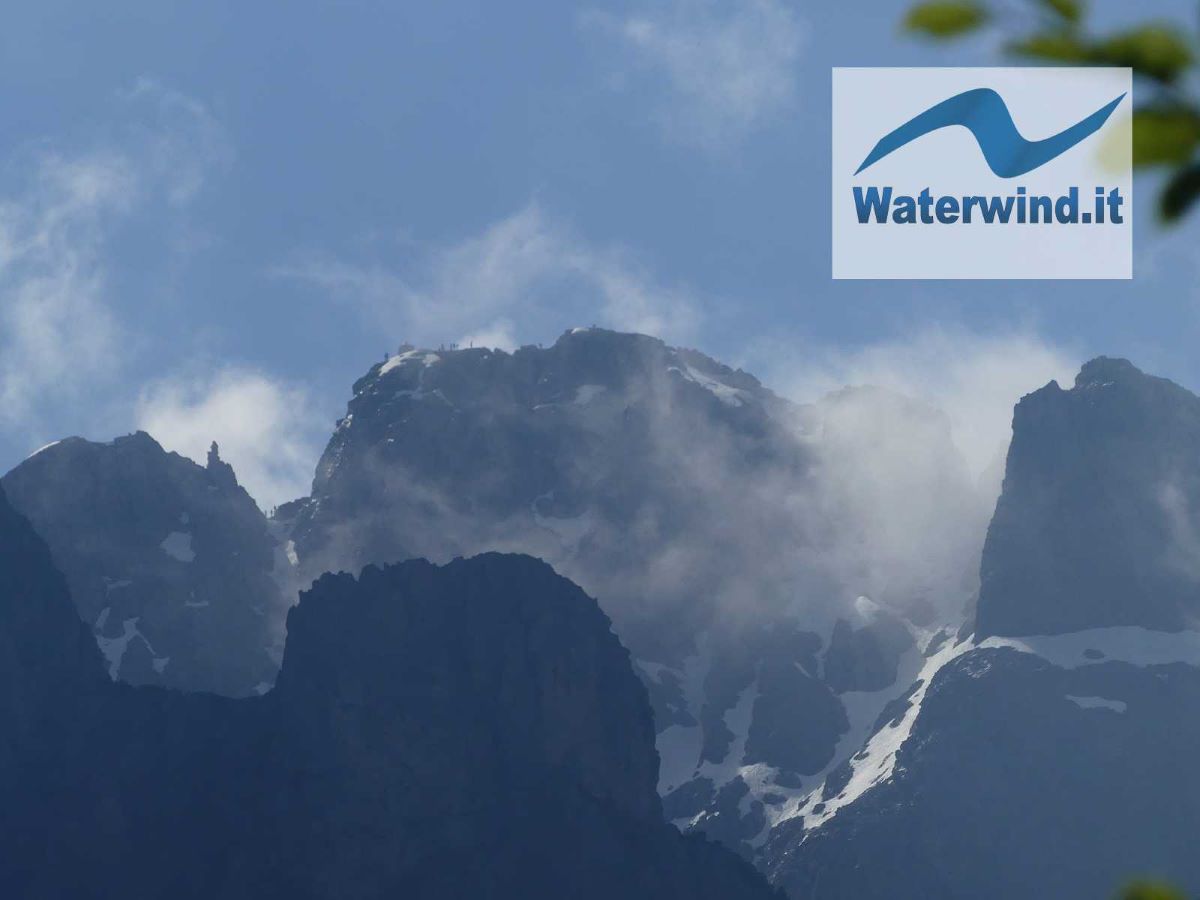
Shortly before, beyond the cave, on the left (towards north) the path to Gardata branches off. Going up, you begin to enjoy the interesting panorama of the upper Meria Valley, and, towards the SE, in particular, of the famous rocky spiers of the southern Grigna (historic climbing gym for Bonatti and Cassin and many other climbers), above the Rosalba Hut.
Once you have passed the altitude of 1000 metres, in the center of the valley, a little above a rocky spur, you begin to glimpse the refuge, which appears well above you. Don't be discouraged. You will be amply rewarded by the panorama once you are there.
The climb continues steeply up to approximately 1 km from the refuge (approximately 30 minutes from the destination). Take the opportunity to breathe a little, proceeding on a flat or slight slope on a narrower, unpaved brief stretch of path. You pass a first turn towards Val Cassina (and the Via Ferrata del Sasso dei Carbonari - equipped mountain path or Klettersteig - and the Bietti Refuge).
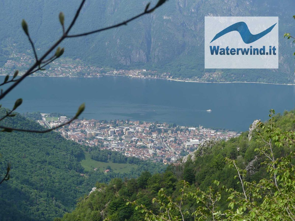
You pass by the Aser hut (1350 metres), beyond which the path turns towards ESE, and climbs again, to overcome a couple of last hills. From some points of this stretch, you can already see the whole valley, down to Mandello, the lake, and the villages on the slopes of the opposite bank. Also noteworthy is the image of the walls of Sasso Cavallo and Sasso dei Carbonari, which you will admire even more from the refuge.
A final effort allows you to reach the Elisa Refuge, small but welcoming, at an altitude of 1515 meters (1100 meters of altitude difference).
Walking at a good pace, and without too many stops, it takes around 2.5 hours to cover the route. The inevitable stops at the many panoramic points will extend the time to around 3 hours. The refuge is an excellent starting point for many excursions around: to the peak of the northern and southern Grigna, to the Rosalba refuge, to the Bietti refuge, and to the Porta di Prada (amazing natural arch), etc. It is therefore worth staying here, at least for a weekend, to better explore the area.
The return can take place from the same ascent path, or passing through Gardata (path 18, just below the Baita Aser, and then rejoining path 14 near the Grotta Ferrera).
A great ride!
Enjoy your walk. Fabio
Enjoy the video about the trip (sorry, only italian audio)
Without your Support, Waterwind wouldn't exist. Become our supporter! If you want to advertise with us, read here, or conctact us.


